
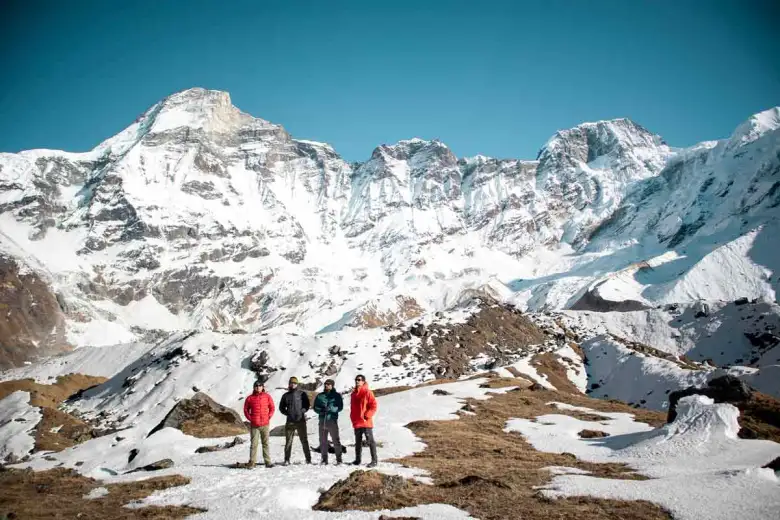

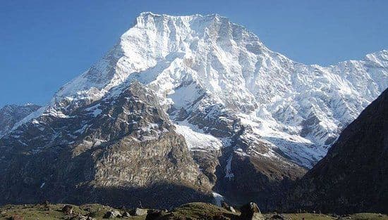
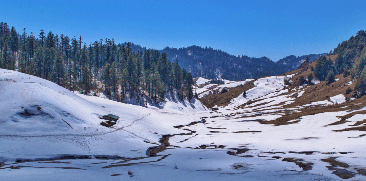
Most itineraries treat Nepal as three places: Kathmandu, Pokhara, and a trek. That covers a narrow corridor through the middle of the country and misses the western third almost entirely. Karnali and Sudurpashchim together hold Nepal's largest lake, its largest national park, its best tiger viewing, an entire Tibetan-plateau culture, and the least-climbed corner of its Himalaya.
This is the orientation page for that region — how it is organised, what is where, and when to go. Every district and destination links through to its full guide.
How Western Nepal is organised
Nepal is divided into seven provinces and 77 districts. Two provinces make up what we call Western Nepal, and they are genuinely different places.
Karnali Province is the largest province by area and the least densely populated. It contains Jumla, Mugu, Dolpa, Humla, Kalikot, Dailekh and Surkhet, and it spans the full range from subtropical valleys to the Tibetan plateau. This is where Rara, Shey Phoksundo and Limi Valley are.
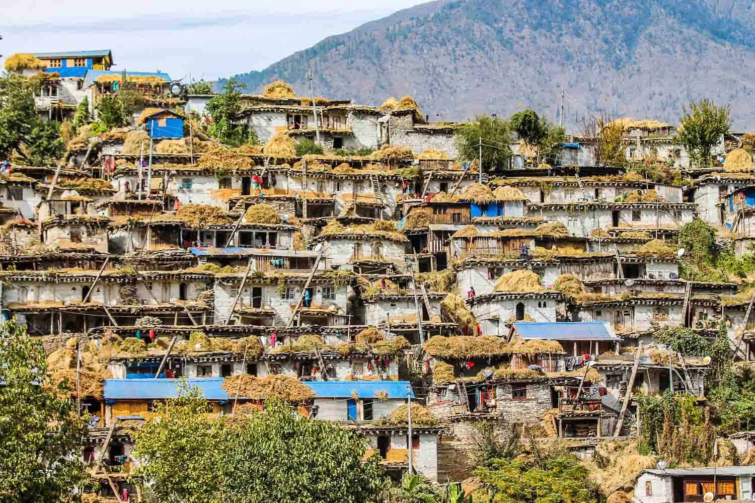
Sudurpashchim Province is the far west — Bajura, Bajhang, Darchula, Achham, Kailali and Kanchanpur. It runs from the Terai grasslands of Shuklaphanta up to the Api and Saipal massifs on the Tibetan border, and it holds a distinct culture with its own language traditions and the Deuda song-dance form you will not encounter anywhere else in Nepal.
If the district system is unfamiliar, Nepal's 77 districts explained is the map to start from.
Where to go, by what you want
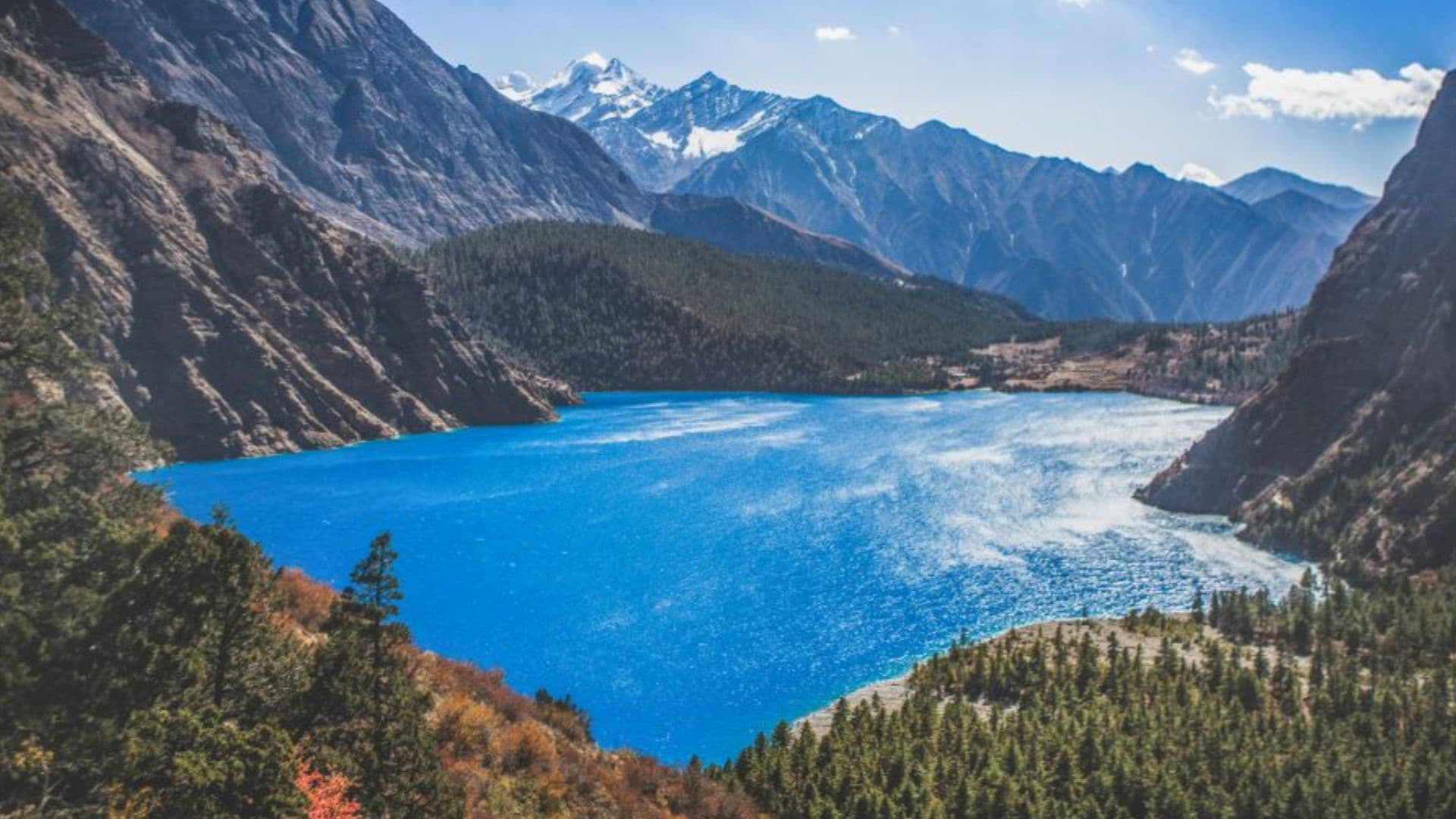
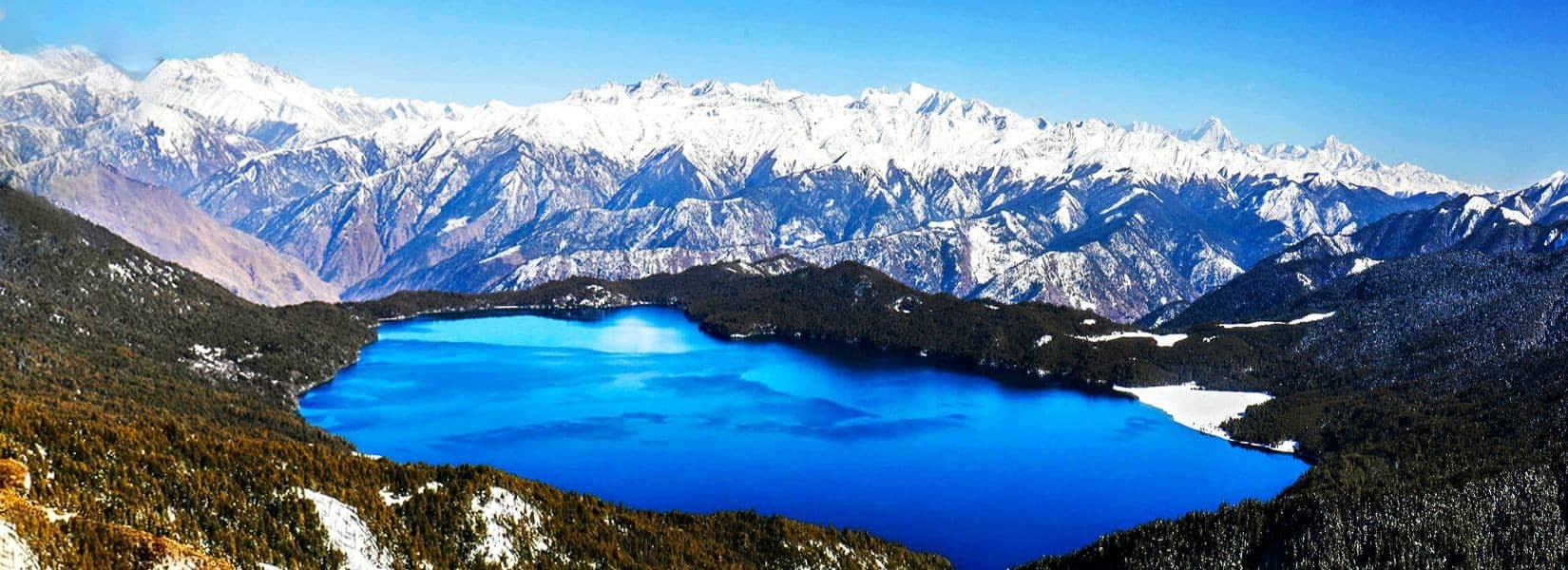
Water and mountains. Rara Lakeis the headline — Nepal's largest lake, ringed by pine forest at nearly 3,000 metres. Shey Phoksundo is the deeper, stranger one: a turquoise lake in upper Dolpa with no fish in it, backed by cliffs and a Bon monastery. Ramaroshan in Achham is a cluster of small lakes and meadows almost nobody outside Nepal has heard of.
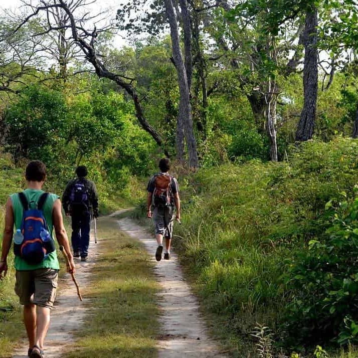
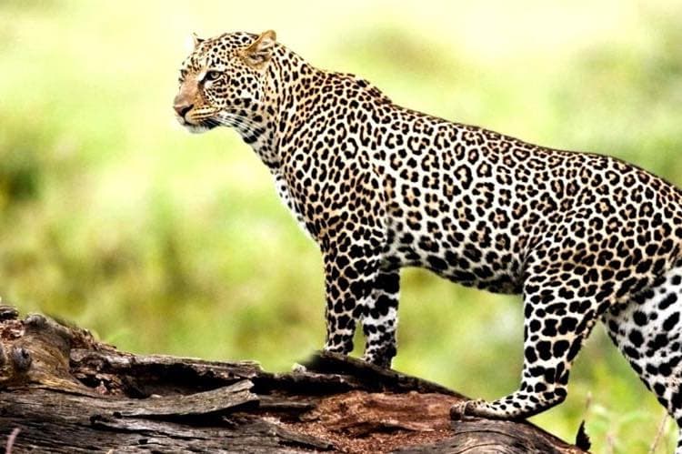
Wildlife. The Terai parks — Bardiya, Banke and Shuklaphanta— hold tiger, rhino, wild elephant and the world's largest swamp deer herd, with a fraction of Chitwan's traffic.
Pilgrimage. Badimalika in Bajura and Khaptad Baba's ashram are major destinations for Nepali pilgrims and almost unknown to foreign visitors, which is exactly what makes them worth the walk.
Remote trekking. Covered in full on the trekking pillar — Rara, Dolpa, Humla, Api, Saipal, Rukum.
When to go where
The single most useful thing to understand about this region is that the monsoon does not reach all of it. Dolpa, Humla and the upper valleys sit in the Himalayan rain shadow, so June to September — unusable almost everywhere else in Nepal — is among the best time to be there.
| Season | Go here | Avoid | Why |
|---|---|---|---|
| Spring (Mar–May) | Rara, Khaptad, Rukum, Api | Low Terai by late May (heat) | Rhododendron in the mid-hills, stable weather, warm nights |
| Monsoon (Jun–Sep) | Dolpa, Humla, Mustang | Everything south and east | Rain-shadow districts stay dry while the rest of Nepal floods |
| Autumn (Oct–Nov) | Everywhere | Nothing | Clearest air and most stable weather of the year |
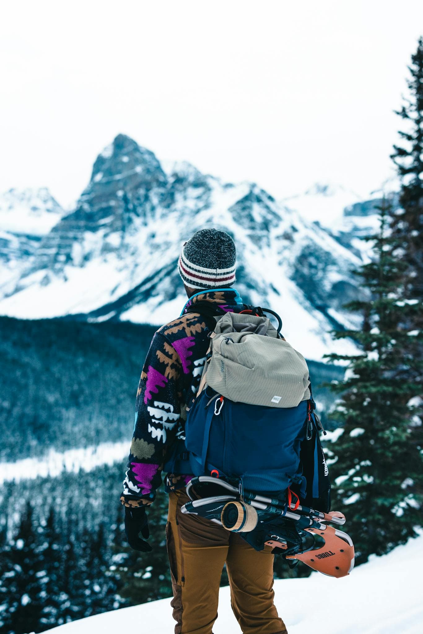
| Winter (Dec–Feb) | Bardiya, Shuklaphanta, Terai | High passes, Rara | Peak wildlife season; high routes are snowbound |
Full detail in the seasons guide.
Getting around
Nepalgunj is the gateway airport for most of Western Nepal, with onward mountain flights to Jumla, Juphal and Simikot. Dhangadhi serves the far west. Road access has expanded a lot in the last decade but remains slow and rough, and mountain flights cancel for weather often enough that you should build spare days into any itinerary. See flights, roads and permits.
First trip to Nepal and not sure whether to come here at all? Start with first-time Nepal itineraries, then the honest comparison in 10 undiscovered destinations.