
In August 1985 a moraine dam above the Khumbu village of Thame gave way and Dig Tsho emptied itself down the valley. The flood destroyed a nearly finished small hydropower plant at Namche Bazaar, took out bridges and trails, and became the textbook case of a glacial lake outburst flood in Nepal. Almost forty years later, in August 2024, another outburst above Thame ran through the same village and damaged houses, a school and a health post. Two events, one valley, one mechanism, and a great deal more ice gone in between.
Nepal sits in the middle of what glaciologists call the Third Pole, the largest concentration of frozen water outside the polar regions. Several thousand glaciers lie within the country, covering an area on the order of a few thousand square kilometres, and their meltwater underwrites dry-season flow in rivers that eventually feed hundreds of millions of people downstream. This article sets out what is actually happening to that ice, and what it means for the valleys below.
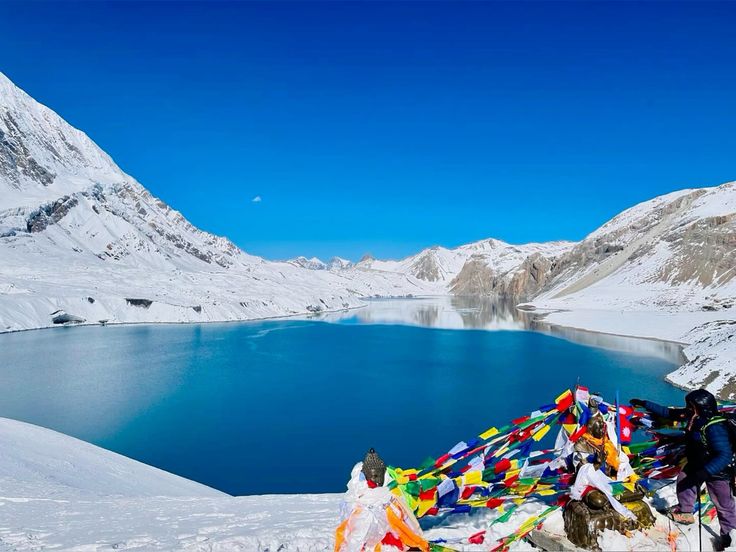
How much ice Nepal actually has
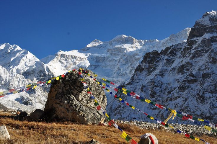
The glaciers are not evenly spread. They cluster around the highest massifs: the Everest and Makalu area in the east, Kanchenjunga on the Indian border, Langtang and Rolwaling in the centre, the Annapurna, Manaslu and Dhaulagiri group in the middle of the country, and Kanjiroba, Saipal and Api in the far west. The largest glacier in Nepal is Ngozumpa, in the Gokyo valley, and the most famous is Khumbu, the icefall of which every Everest expedition must cross.
Many of the big Nepali glaciers are debris covered in their lower reaches, buried under a metre or more of rock and grit carried down from the walls above. That blanket insulates the ice and slows surface melt, which is why these tongues do not retreat dramatically at the snout the way clean glaciers in the Alps do. Instead they thin from within and slump, and ponds appear on the surface. Those supraglacial ponds absorb heat, deepen, and eventually coalesce. The result looks stable from a distance and is anything but.
What is happening to the ice
The direction of travel is not in dispute. Regional assessments of the Hindu Kush Himalaya conclude that even if global warming is held near 1.5 degrees, something like a third of the ice volume in the range is lost by the end of the century, and that on higher emissions trajectories the loss approaches two thirds. Comparisons of the 2010s with the preceding decade found melt rates accelerating sharply rather than holding steady.
Three mechanisms stack on top of each other. First, straightforward warming, which is amplified at altitude so that the high Himalaya heats faster than the global average. Second, changing precipitation: more of the winter falls as rain rather than snow, and the snow that does fall accumulates lower and melts sooner, which starves glaciers of the fresh input they need to stay in balance. Third, black carbon. Soot from vehicles, brick kilns, crop burning and cooking fires across the Ganges plain settles on high snow, darkens it, and makes it absorb more sunlight. It is a regional pollution problem with a direct effect on the ice.
The consequences are visible on monitored glaciers. In Langtang, Yala Glacier has been measured continuously for decades and has shrunk to a fraction of its former extent; in 2025 researchers and local residents held a public memorial for it, an unusual and deliberate piece of public mourning intended to make an abstraction concrete.
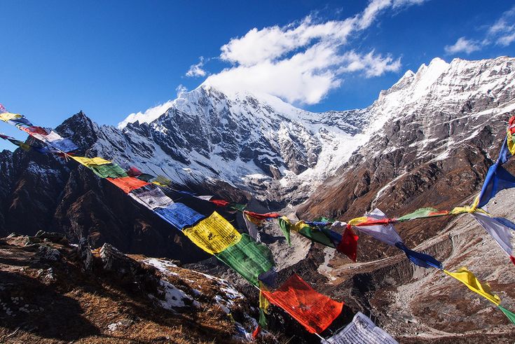
Glacial lakes and outburst floods
As glaciers retreat they leave loose ridges of rock and ice-cored debris behind. Meltwater pools behind those moraines. The dam is not rock in any engineering sense; it is unconsolidated rubble, often with buried ice inside it that continues to melt. When an ice avalanche, a rockfall or a landslide drops into the lake, the wave overtops the moraine, cuts a channel, and the whole lake evacuates in hours. That is a glacial lake outburst flood, and the discharge can dwarf anything the valley has seen from monsoon rain.
Nepal has thousands of glacial lakes across its three main river basins, and inventories flag a couple of dozen within the country as potentially dangerous, alongside others sitting across the border in Tibet whose floods would arrive in Nepal regardless. Mitigation has been attempted on the worst cases. Tsho Rolpa in the Rolwaling valley was partially drained around the turn of the century with an engineered outlet channel, and Imja Tsho below Everest was lowered by a Nepal Army led operation in 2016. Both projects were expensive, logistically brutal and only partial fixes.
| Basin | Key glacier country | Lakes to watch | What is downstream |
|---|---|---|---|
| Dudh Koshi | Khumbu, Ngozumpa, Imja glaciers | Imja Tsho, ponds above Thame | Namche, Lukla corridor, Sun Koshi highway |
| Tama Koshi and Rolwaling | Trakarding and Ripimo glaciers | Tsho Rolpa | Beding, Gongar, the Tama Koshi hydropower cascade |
| Arun and Barun | Barun and Kanchenjunga glaciers | Lower Barun Lake | Arun valley settlements and hydropower schemes |
| Gandaki | Manaslu, Annapurna, Dhaulagiri icefields | Thulagi Lake above Marsyangdi | Marsyangdi and Budhi Gandaki valleys, Pokhara corridor |
| Karnali and Mahakali | Kanjiroba, Saipal, Api snowfields | Moraine ponds in Humla and Mugu headwaters | Karnali corridor, Bheri confluence, Darchula |
What it means downstream
Glaciers are batteries, not taps. They store winter and monsoon precipitation and release it slowly in the pre-monsoon months when rivers are otherwise lowest. Losing them does not mean the rivers dry up, because the monsoon still supplies the bulk of the annual flow. It means the timing changes. In the short term more melt produces higher flows and more sediment; in the longer term the spring buffer weakens exactly when irrigation, hydropower and drinking supply need it most.
The more immediate water crisis in Nepal is not on the big rivers at all. It is in the mid-hills, where springs that villages have used for generations are yielding less or failing outright, a combination of erratic rainfall, changed land use and lost recharge. That is what drives out-migration from hill villages far more directly than any glacier does. Meanwhile, on the rivers themselves, sediment loads from destabilised high catchments shorten the working life of reservoirs and grind turbines, which is a real problem for a country betting its energy future on run-of-river hydropower.
What trekkers are already seeing
You do not need instruments to notice the change. Trails that once crossed permanent snow now cross scree for more of the year. Base camps sit further from ice than the old photographs show. Route conditions on well-trodden passes have become less predictable, with bare glacier ice and open crevasses appearing where snow bridges used to hold, and rockfall increasing as permafrost that cemented high slopes thaws. High lakes such as Tilicho are visibly fed by retreating tongues, and approaches to Everest Base Camp shift as the moraine below Gorak Shep is reworked.
Practically, this argues for wider margins. Build spare days into itineraries, take current local advice on pass conditions rather than a guidebook printed years ago, avoid camping directly on the outflow of a moraine-dammed lake, and treat the shoulder seasons as genuinely variable rather than reliably fine. Our seasonal guide to the best time to visit west Nepal goes through how the windows have been shifting.
What is being done about it
The serious work falls into three categories. Monitoring, through long-running benchmark glacier programmes and satellite inventories that make change measurable rather than anecdotal. Risk reduction, through lake lowering, early warning systems on the highest-risk valleys, and land use rules that keep new building off obvious flood paths. And regional cooperation, because the Himalayan catchments do not respect borders and a lake in Tibet floods a village in Nepal without asking anyone.
Nepal itself contributes an almost negligible share of global emissions, which makes the domestic conversation overwhelmingly about adaptation rather than mitigation. The realistic ambition is not to keep the glaciers. It is to make sure the valleys below them are not caught unprepared when the ice goes.
FAQ
How many glaciers does Nepal have?
Inventories count several thousand, covering an area of a few thousand square kilometres, concentrated around the highest massifs from Kanchenjunga in the east to Api in the far west. The precise count shifts as satellite mapping improves and as glaciers fragment.
What is a glacial lake outburst flood?
A sudden release of water from a lake dammed by glacial moraine, usually triggered when an ice avalanche or landslide sends a wave over the loose dam and cuts it open. The whole lake can drain within hours, well beyond anything a normal monsoon flood produces.
Which glacial lakes in Nepal are considered dangerous?
Imja Tsho below Everest, Tsho Rolpa in Rolwaling, Lower Barun and Thulagi are the most frequently cited. Inventories flag around two dozen inside Nepal, plus several across the border in Tibet whose floods would reach Nepali valleys.
Will Nepal rivers dry up as the glaciers melt?
No. The monsoon supplies most of the annual flow, so the rivers persist. What changes is timing and reliability, with a weaker dry-season buffer and heavier sediment loads, and that is what affects irrigation and hydropower.
Can trekkers still see healthy glaciers in Nepal?
Yes. The Khumbu, Ngozumpa, Barun and Annapurna icefields remain vast and impressive. They are simply thinner and further back than they were a generation ago, and conditions on high passes vary more year to year than they used to.