
The monsoon reaches West Nepal in the second half of June and has usually cleared by the end of September. It rains hard in bursts, mostly overnight and in the late afternoon, rather than steadily all day. The real disruption is not the rain but what it does to roads: landslides close the highways for hours or days, and flights to the mountain airstrips cancel.
What the rain actually does
Whole days of grey drizzle are rare. A typical monsoon day in the middle hills starts clear enough to see across the valley, clouds over by mid-morning and empties itself between late afternoon and midnight. You get wet, but you can usually walk. What you lose is the view. The Himalaya spends most of the monsoon behind cloud, and if mountain panoramas are the reason you came, this is the wrong season for it — the trade-offs month by month are set out in our guide to the best time to visit West Nepal.
Humidity in the Tarai is the part people underestimate. Nepalgunj and Dhangadhi in July are hot and heavy in a way that makes an afternoon of sightseeing genuinely unpleasant, and the buildings are not air-conditioned.
Roads, landslides and the Karnali Highway
This is the part worth taking seriously. The Karnali Highway north of Surkhet is cut into steep, loose hillside, and monsoon rain brings that hillside down. Closures are normal rather than exceptional. Sometimes a digger clears the debris in a few hours; sometimes a section of road is simply gone and nobody moves until the next day. Drivers know the bad stretches and will sit and wait rather than run them, which is the correct instinct and not worth arguing with.
The practical consequence is that a monsoon journey should never end at a fixed onward flight. Build spare days in, carry more cash than you expect to need because ATMs are thin on the ground and go offline with the power, and treat every schedule as provisional. The mechanics of getting in and out are in how to get to West Nepal.
| Where | June to September | Worth going? |
|---|---|---|
| Tarai — Bardiya, Banke, Kailali | Hot and humid, heavy rain, grass at its highest, tracks flooded | Poor for wildlife viewing |
| Middle hills — Surkhet, Dailekh, Jajarkot | Green, cloudy, leeches in the forest, roads unreliable | Fine if your dates are flexible |
| Southern-slope trekking routes | Wet ground, cloud, no mountain views | Generally not |
| Trans-Himalaya — Upper Dolpo, Upper Mustang, north Humla | Rain shadow: dry, clear, strong sun, cold nights | This is their best season |
Leeches
In wet forest below roughly 3,000 metres there are leeches, and there are a lot of them. They come up your boots from the ground rather than dropping out of trees, the bite does not hurt, and it bleeds for longer than seems reasonable afterwards because of the anticoagulant. Salt, a lighter or a fingernail flicked sideways gets them off. Gaiters and long socks pulled over trouser cuffs cut the numbers down a great deal. It is unpleasant on the first day and routine by the third.
Why Dolpo and Mustang stay dry
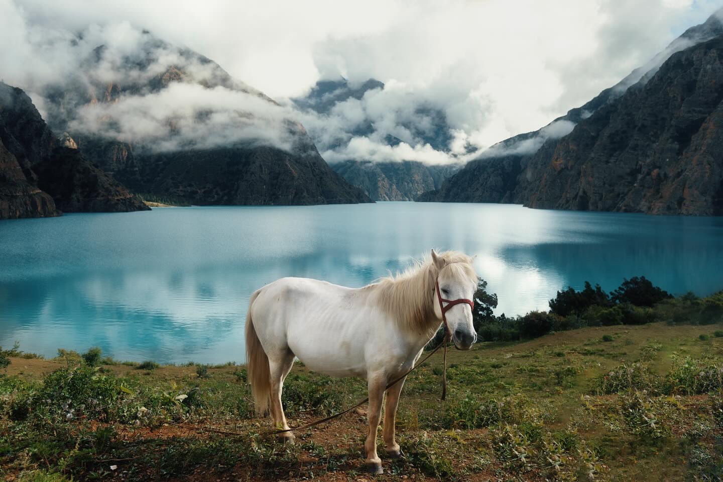
The main Himalayan chain wrings the water out of the air before it can get over the top. North of that wall the land is high desert — brown, wide, and lit by a sun that is fierce at altitude. Upper Dolpo, Upper Mustang and the northern valleys of Humla all sit behind it, which is why the monsoon is when people actually walk there. The routes around Shey Phoksundo National Park are at their best in July and August, with everything south of the range under cloud. The Dolpa district guide covers what getting there involves.
The catch is the approach. The flight into Juphal still has to cross the weather, and the trail in from the road side is a monsoon trail like any other. The rain shadow only starts once you are over the top.
What is genuinely better in the wet
The hills are the greenest they will be all year, and the terraces above Surkhet and Dailekh in August look like nothing else in the calendar. Waterfalls that are a damp streak in April are running properly. There are almost no other foreign visitors, guesthouses have space without booking ahead, and people have time to sit and talk to you.
It is also the working season, which is the real reason to be there. Rice transplanting happens in Asar, and in the middle hills in late June and early July you walk past whole families knee-deep in flooded terraces, singing across the mud at each other. Asar 15, National Paddy Day, is when it peaks.
Packing for it
A proper waterproof rather than a shower jacket, quick-drying trousers, and the acceptance that nothing you wash will dry. Dry bags or heavy-duty liners inside the pack matter more than the pack's own rain cover, which is the first thing to fail. Take more socks than feels sensible. A power bank earns its weight, because power cuts follow storms and a village on a micro-hydro scheme loses supply when the river runs dirty.
Frequently Asked Questions
Is it worth visiting Nepal during the monsoon?
For the trans-Himalayan districts, yes. Upper Dolpo, Upper Mustang and northern Humla sit in the rain shadow and this is their season. For mountain views, Tarai wildlife or an itinerary that cannot slip by a few days, no.
Do roads close during the monsoon in West Nepal?
Regularly. Landslides block the Karnali Highway and the hill roads for anything from a few hours to a couple of days. Closures are not announced in advance, so build spare days into any monsoon journey and avoid booking a tight onward connection.
Are there leeches in Nepal during the monsoon?
Yes, in wet forest below roughly 3,000 metres. They are harmless and the bite is painless, though it bleeds for a while afterwards. Gaiters, socks pulled over trouser cuffs and a pinch of salt deal with them.
When does the monsoon end in Nepal?
It generally runs through September, with settled autumn weather arriving from around the start of October. The end is less predictable than the start, and a wet first week of October is not unusual.