
In the autumn of 1814 a Gorkhali officer named Balbhadra Kunwar held a small hilltop stockade above the Dehradun valley against a British force many times the size of his own garrison. The place was Khalanga, at Nalapani. The British general who led the first assault, Rollo Gillespie, was shot dead within a few paces of the wall. The defenders held on until their water supply was cut, then walked out through the siege lines carrying their wounded rather than surrender. The British buried their own dead and then, unusually for a colonial campaign, raised a second monument to the men who had opposed them. That one small siege did more to shape the European reputation of Nepali soldiers than anything written in the treaty that eventually ended the war.
The war itself went the other way. Between November 1814 and March 1816 the Gorkhali state and the British East India Company fought a two-front campaign stretching more than a thousand kilometres along the Himalayan foothills. Nepal lost roughly a third of the territory it then controlled. The settlement, signed at Sugauli in the plains of what is now Bihar, fixed the boundaries the country still holds and set the terms of its relationship with British India for the next century and a third.
Why the Anglo-Nepalese War Started
The short version is that two expanding powers ran out of empty ground between them. Prithvi Narayan Shah took the Kathmandu valley in 1768 and his successors kept pushing outward in every direction the hills allowed. By the first decade of the nineteenth century the Gorkhali state reached the Sutlej river in the west and the Teesta in the east. Kumaon, Garhwal, the old Khas Malla successor kingdoms of the far west and much of what is now Himachal Pradesh had all been absorbed. If you want the deeper background to those western conquests, the story of the Khas Malla kingdom of west Nepal explains what the Gorkhali armies were actually taking over.
That expansion was not an accident of ambition alone. The Gorkhali state paid its army largely in land assignments rather than cash. Conquest generated the revenue that paid for the next conquest. Under Bhimsen Thapa, who dominated the court as mukhtiyar from 1806, the machine kept running because stopping it would have created a fiscal problem the treasury could not solve.
The Terai question
The British side had its own momentum. By 1803 the Company controlled the Gangetic plain right up to the base of the hills and was surveying it for revenue. The trouble was that nobody had ever drawn a line where the hills met the plain. Gorkhali officials collected from Terai tracts around Butwal and Syuraj on the grounds that the hill principalities above them had always done so. Company officials claimed the same tracts as successors to the nawabs of Awadh. Both positions had a case. Negotiation dragged, police posts were attacked, and in November 1814 the governor general, Lord Moira, declared war.
How the War Was Fought Across the Foothills
The British plan was to send four columns into the hills at once and overwhelm a state that was militarily overstretched. It did not work as designed. Two of the four columns bogged down in the eastern Terai, where malaria and dense sal forest did more damage than the enemy. Gillespie was killed at Nalapani. British commanders discovered what every army since has discovered in Nepal, which is that a fortified ridge held by people who know the ground is expensive to take.
The campaign turned in the west, where David Ochterlony refused to storm anything. He advanced slowly, dragged guns onto commanding spurs, cut supply routes and let hunger do the work. Amar Singh Thapa, the veteran commander of the western frontier, was progressively squeezed out of his hill forts and surrendered his position in the spring of 1815. With that, everything west of the Mahakali was effectively lost. The Kathmandu court split over whether to ratify the terms already offered. When ratification stalled, Ochterlony returned in early 1816, forced the Churia passes and won the field at Makwanpur, less than a week’s march from the capital. The treaty was ratified within weeks.
| Event | Where | When | Outcome |
|---|---|---|---|
| Declaration of war | Calcutta | November 1814 | Four British columns ordered into the hills |
| Siege of Khalanga | Nalapani, above Dehradun | Late 1814 | British general killed; garrison withdrew after water was cut |
| Western campaign | Hill forts between the Sutlej and Kumaon | Winter 1814 to spring 1815 | Amar Singh Thapa surrendered his position; western territory lost |
| Treaty drafted | Sugauli, in the plains | December 1815 | Terms agreed but not immediately ratified in Kathmandu |
| Makwanpur campaign | Churia hills south of Kathmandu | February 1816 | British victory close to the capital forced ratification |
| Treaty ratified | Kathmandu | March 1816 | Borders, a British Resident and recruitment rights confirmed |
What the Treaty of Sugauli Actually Said
The treaty was short and expensive. Nepal gave up Kumaon, Garhwal and everything west of the Mahakali river. It gave up its claims east of the Mechi, which released Sikkim from Gorkhali control. It surrendered most of the Terai lowlands that had funded the army. It accepted a permanent British Resident in Kathmandu, which the court correctly understood as a listening post rather than a courtesy. And it accepted a clause allowing the Company to recruit Nepali subjects into its own service, which is the legal root of every Gurkha regiment that followed.
One line in that treaty is still live. The text names the Kali river as the western boundary, but it does not say which of the headstreams above the confluence counts as the Kali. Nepal and India read the surviving maps and revenue records differently, and the disagreement over the Kalapani, Lipulekh and Limpiyadhura area follows directly from that silence. It is handled through diplomatic channels and remains unresolved. Travellers in Darchula will hear it discussed in ordinary conversation.
How Sugauli Redrew the Far West
For western Nepal the treaty was not an abstraction. The Mahakali became an international border cutting through the Byansi and Kumaoni communities that had lived on both banks for centuries, dividing markets, marriage networks and grazing rights overnight. The old hill principalities of Doti, Achham, Bajhang and Baitadi stayed on the Nepali side but lost the plains revenue that had supported them. The Doti heritage trail runs through what was left of that world after 1816.

The Terai loss was partly reversed. After Jung Bahadur Rana sent Nepali troops to support the British during the revolt of 1857, four western Terai districts were handed back in 1860. Nepalis still call that block Naya Muluk, the new country, and it covers what are now Banke, Bardiya, Kailali and Kanchanpur. Two of Nepal’s finest protected areas sit inside it: Bardiya National Park and Shuklaphanta National Park. The reason those grasslands survived at all is that the returned tracts were malarial, thinly settled and managed for generations as royal hunting reserves.
Practical Information for Travellers Following the Story
Almost nothing of the fighting is visible in Nepal itself, because the decisive battlefields are either in India or under farmland. What you can visit is the geography the treaty created. Fly into Dhangadhi or Nepalgunj and you are in Naya Muluk. Drive north from Dhangadhi and you climb into the old Doti hills. Continue to Darchula and you can stand on a bridge over the Mahakali with Nepal on one bank and India on the other, which is the treaty in physical form.
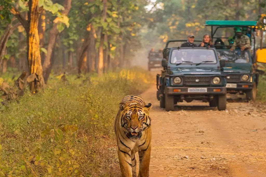
The lowland season runs from October to April. May and early June are brutally hot in the western Terai, and the monsoon closes many unpaved hill roads until late September. Carry your passport in the border districts; identity checks are routine and unremarkable. Local museums are few, so the best history you will get is from schoolteachers, temple caretakers and older villagers, who tend to know exactly which side of which river their grandparents paid tax on.
FAQ
Who won the Anglo-Nepalese War?
The British East India Company won. Nepal ceded roughly a third of the territory it controlled and accepted a British Resident in Kathmandu, although it was never annexed and never became a colony.
When was the Treaty of Sugauli signed?
It was drafted at Sugauli in December 1815 and ratified in Kathmandu in March 1816 after a second British campaign reached Makwanpur.
How much land did Nepal lose under the treaty?
Nepal gave up Kumaon, Garhwal and all territory west of the Mahakali river, its claims east of the Mechi, and most of the Terai. Four western Terai districts were returned in 1860.
Did the Treaty of Sugauli create the Gurkha regiments?
It made them legal. A clause permitted the Company to recruit Nepali subjects, and the first battalions were raised from soldiers who had fought against the British in the same war.
Why is the treaty still discussed in Nepal today?
Because the text names the Kali river as the western boundary without identifying which headstream is meant. That ambiguity underlies the ongoing Kalapani and Lipulekh boundary disagreement with India.